Discover the Importance of Terrestrial Reference Frames
2024-06-19
Each year, the GGOS Executive Committee organises the GGOS Days to update the IAG and GGOS communities on recent achievements and current challenges faced by the various colleagues involved in achieving the goals of the GGOS Strategic Plan.
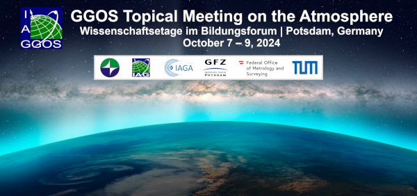
GGOS serves as an integrating framework for all components of the International Association of Geodesy (IAG), providing a clearinghouse for geodetic expertise and fostering interdisciplinary research. A current challenging topic is the modelling of spatio-temporal variations of the atmosphere (troposphere, stratosphere, mesosphere, thermosphere, ionosphere/plasmasphere) and the magnetosphere using geodetic and geophysical observations.

The IGS started its operational service on 1 January, 1994. During the course of preparing for this operational phase, the first IGS workshop was held at the premises of the University of Bern from 25 to 26 March, 1993 focusing on the analysis centers. The first decade of operational service was celebrated at an IGS workshop hosted again in Bern Switzerland by the University of Bern in March 2004.
GGOS, the Global Geodetic Observing System of the International Association of Geodesy (IAG), was established as an integrating framework for all IAG Components (Services, Commissions, Inter-Commission Committees and Projects) to move from the provision of individual geodetic technique-based products to a level of consistent modelling and interpretation of Earth System processes and interactions, ensuring an integrated, consistent and long-term observing system.

One initial objective of the Global Geodetic Observing System (GGOS) of the International Association of Geodesy (IAG) was the standardisation of height systems worldwide. In this way, the GGOS Focus Area Unified Height System (GGOS-FA-UHS) was established in 2010 to lead and coordinate the efforts needed towards the establishment of a global standard for the precise determination of physical heights.
The International Association of Geodesy (IAG) is a scientific association in the field of geodesy. It promotes scientific cooperation and research in geodesy on a global scale and contributes to it through its various research bodies. It is a constituent association of the International Union of Geodesy and Geophysics (IUGG). IAG has a long and distinguished history that goes back to 1862, the year, in which the "Mitteleuropäische Gradmessung" was established. This organization was formed to promote scientific work in geodesy in Central Europe, following a proposal made a year earlier by J.J. Baeyer (1861). In 1867, the name of the organization was changed to "Europäische Gradmessung", because by then countries from all of Europe had joined the organization. In 1886, the name was changed to "Internationale Erdmessung", emphasizing the need for international cooperation to solve the scientific tasks of geodesy. The French and English translations of this name resulted in the current name "International Association of Geodesy (IAG)". Thus, the IAG as an international scientific organization goes back to 1886 and is one of the oldest international associations of this kind.
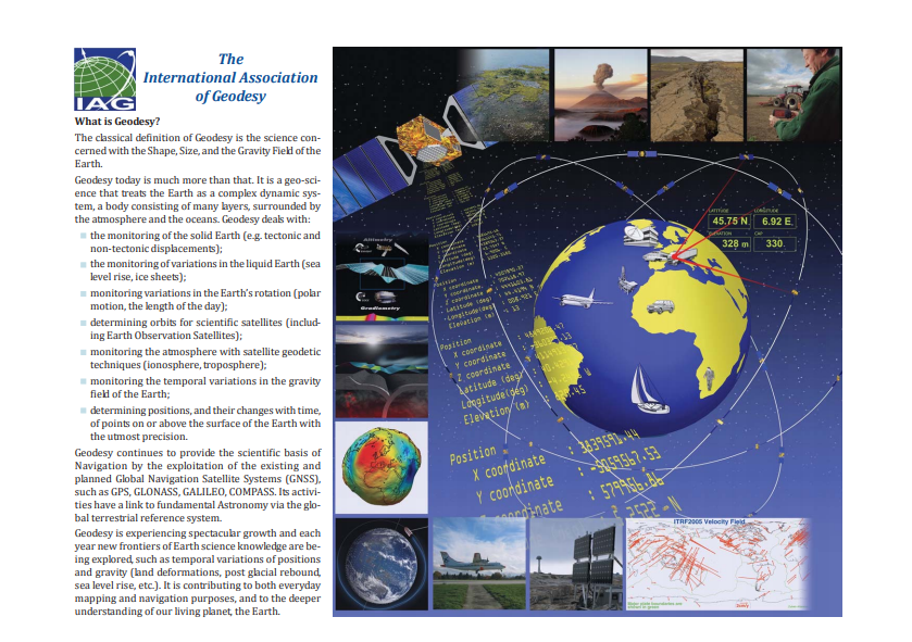
The Mission of the Association is the advancement of geodesy. IAG implements its mission by furthering geodetic theory through research and teaching, by collecting, analyzing, modelling and interpreting observational data, by stimulating technological development and by providing a consistent representation of the figure, rotation and gravity field of the Earth and planets, as well as their temporal variations.