November 2018
Contents
- General Announcements
- Editorial
- For the 90th anniversary of TsNIIGAiK
- Meeting Announcements
- First International School on “Geoid Modelling, Gravity Inversion and its Applications”
- Meetings Calendar
- IAG Sponsored Meetings
- 4th Joint International Symposium on Deformation Monitoring (JISDM)
- EUREF Symposium 2019
- 27th IUGG General Assembly
- IAG Related Meetings
- AGU 2018 Fall Meeting
- 11th European Space Policy Conference
- Munich Satellite Navigation Summit 2019
- EGU General Assembly 2019
- ESA Living Planet Symposium
- AOGS 16th Annual Meeting
- Earth & Geo Science-2019
- First International School on “Geoid Modelling, Gravity Inversion and its Applications”
- 4th Symposium of the Committee on Space Research (COSPAR)
- Reports
- Report on the Symposium SIRGAS2018
- Report on the SIRGAS Working Group III “Vertical Datum” Workshop 2018
- International Workshop on GNSS Ionosphere (IWGI2018)
- Obituary
- Michel Louis (1930-2018)
- Jean Kovalevsky (1929-2018)
The IAG Newsletter is under the editorial responsibility of the Communication and Outreach Branch (COB) of the IAG.
It is an open forum and contributors are welcome to send material (preferably in electronic form) to the IAG COB (newsletter@iag-aig.org). These contributions should complement information sent by IAG officials or by IAG symposia organizers (reports and announcements). The IAG Newsletter is published monthly. It is available in different formats from the IAG new internet site: http://www.iag-aig.org
Each IAG Newsletter includes several of the following topics:
- news from the Bureau Members
- general information
- reports of IAG symposia
- reports by commissions, special commissions or study groups
- symposia announcements
- book reviews
- fast bibliography
General Announcements
Editorial
Journal of Geodesy, as the merger and continuation of Bulletin Géodésique and Manuscripta Geodaetica, represents the oldest and most venerable international geodesy journal. Its mission is to disseminate high-quality papers on scientific problems of geodesy and related interdisciplinary sciences, concerning the entire range from theoretical and modeling studies to results of experiments and interpretations. Among regular research papers, the Journal of Geodesy publishes topical collections in the form of special issues, short notes (brief papers that are of exceptional significance to a broad readership), and, occasionally, review papers. With a Journal Impact Factor (JIF) of 4.633 for 2017, it is now among the top-cited geosciences journal of the past 2 years.
The core editorial process — to each submission, the Editor-in-Chief assigns a knowledgeable editor from the group of editorial board members (which is approved every 4 years by the International Association of Geodesy, IAG), this handling editor then obtains three reviews — has hardly changed over the years. Five-year average turnover times at the Journal of Geodesy are 54 days since submission to first decision, and 18 days since acceptance to publication in online first. We are aware that relying on three reviews may sometimes be in the way of more rapid publication, but we firmly believe that it is important for maintaining the quality level of our contributions, which is the most important asset of the journal.
Yet, as with any journal, during the years a number of minor modifications and updates have been made both to the workflows of submission and review and to the editorial policies which shape the EB’s decisions. As a result, we felt the need to clarify these workflows and policies to our authors in the form of a set of guidelines. These guidelines, which augment Springer’s generic guidelines for authors, can be downloaded from the journal Web site (https://www.springer.com/earth+sciences+and+geography/geophysics/journal/190).
In addition and starting January 1, 2019, there will be two new elements to be considered by authors:
Author Contribution Statement (ACS)
All original articles will have to include an Author Contribution Statement (ACS). Authorship confers credit and has important academic, social, and sometimes financial implications, and it implies responsibility for the work. But since authorship itself does not communicate what contributions qualified for an individual to have (co-) authored the work, we decided to create transparency by introducing a mandatory ACS. The ACS should follow the conclusions or discussion section of the manuscript; an example would simply be: Author contributions: A.B. designed the research; C.D. and E.F. performed the research; G.H., I.J., and K.L. analyzed the data; and A.B., C.D., and G.H. wrote the paper.
Data Availability Statement (DAS)
The editorial board supports the move of IAG toward an open data policy, yet we recognize that authors of the Journal of Geodesy have their data often scattered over multiple databases and it would be impractical to define a few community-mandated central repositories as in other data-driven sciences. Therefore, to improve transparency and repeatability, all original articles will have to include a Data Availability Statement (DAS). The DAS should include information on where data supporting the results reported in the article can be found including, where applicable, hyperlinks to publicly archived datasets analyzed or generated during the study. By data, we mean the minimal dataset that would be necessary to interpret, replicate, and build upon the findings reported in the article. In exceptional cases, where data are not publicly available, the DAS should still state the data owner and any conditions for access.
The Journal of Geodesy will continue to strive to disseminate the top-quality papers in geodesy.
JÜRGEN KUSCHE
Editor-in-Chief, Journal of Geodesy
For the 90th anniversary of TsNIIGAiK
October 24, 2018 marks the 90th anniversary of the founding of the Central Research Institute of Geodesy, Aerial Survey and Cartography (TsNIIGAiK) of Russia.
The creation of the institute was associated with the urgent needs of the national economy. In the 1920s, topographic, geodesic and cartographic works were launched in the USSR to ensure the implementation of plans for the development of the national economy. The coordinates of the points were determined in several unrelated coordinate systems that time. Calculations were carried out using the non-strict deployment method and the Bessel ellipsoid was used, the surface of which did not adequately approximate the surface of the USSR territory. The absolute heights of the points were determined from different level surfaces, for which the mean levels of the seas circumfluent the territory of the USSR were used.
In order to solve these problems, F.N. Krasovsky proposed a scheme and a program for the development of the state triangulation of the country.
In those years, the USSR Head Geodesic Directorate planned for more than half a century ahead grand production work on the creation of an astronomic-geodesic network of the USSR and other multilateral scientific research. Large and diverse production work required a scientific approach, the provision of a regulatory and technical base, work methods and modern technical equipment. For continuous and organized scientific and technical support for geodesic and cartographic activities in the country on the initiative of F.N. Krasovsky resolution of the Council of Labor and Defense of October 24, 1928 established the State Institute of Geodesy and Cartography. In 1933, the institute was named the “Central Research Institute of Geodesy, Aerial Survey and Cartography (TsNIIGAiK).”
By 1940, as a result of research of TsNIIGAiK on the basis of extensive astronomical, geodetic and gravimetric data of the USSR, as well as meridian measurements of Western Europe and the USA, A.A. Izotov, under the leadership of F. N. Krasovsky, completed the work on the determination of the size of a reference ellipsoid that is most suitable for the territory of the USSR. A.A. Izotov and M.S. Molodensky in 1942 performed the conclusion of the initial geodetic datum of the USSR. Based on these works, a unified system of geodetic coordinates was introduced in the USSR. It was named the 1942 coordinate system.
In 1943-1944 M.S. Molodensky created the work “Basic questions of geodetic gravimetry”, which received world fame and became the foundation of numerous works on the application and development of this theory not only in Russia, but also abroad.
In 1983, the Feodosy N. Krasovsky Prize was established. The Krasovsky Prize is awarded annually to both Russian and foreign nominees http://rosgeokart.ru/award.
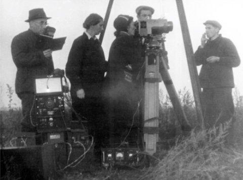
The scientists of TsNIIGAiK have developed relative and absolute gravimeters that ensure accuracy of several μGal. Theories of processing of aerial photographs and digital photogrammetric instruments were created by the scientists of TsNIIGAiK and applied when creating large-scale state maps.
Aerial cameras developed by M.M. Rusinov are still used in Earth satellite surveys.
Precision astronomical theodolite was developed in the early 1980s. It was used for special high-precision work on the alignment of large radio and optical systems.
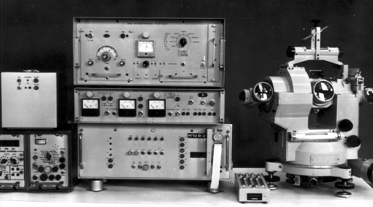
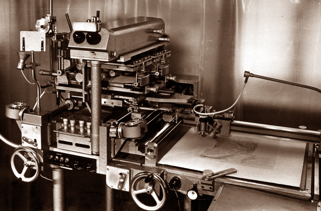
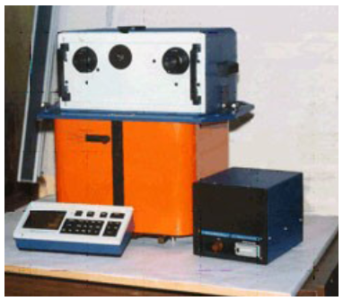
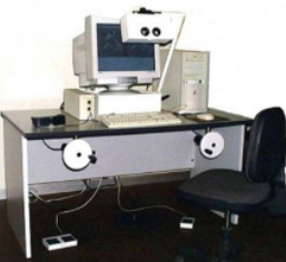
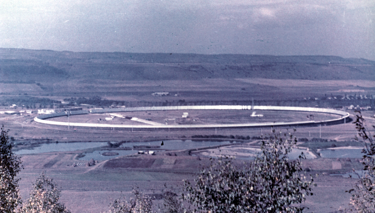
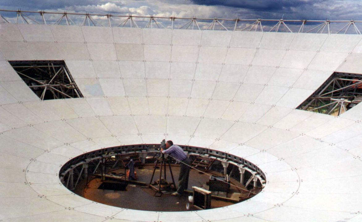
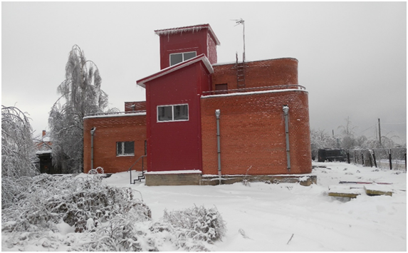
At the end of the last century, joint efforts of the TsNIIGAiK and regional divisions of the Main Directorate of Geodesy and Cartography of the USSR carried out a joint adjustment of the astronomic-geodesic, Doppler and space geodetic networks. This ensured the creation of a new accurate realization of the state coordinate system SK-95.
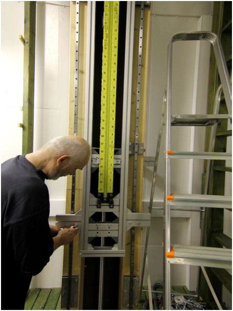
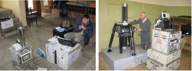
Recently the institute has developed and realized at the national level the modern geocentric coordinate system of 2011.
Many scientists of the institute are world famous. Among them in the field of geodesy are such names as Feodosy Krasovsky, Mikhail Molodensky, Nikolai Grushinsky, Alexander Izotov, Leonard Pellinen, Maria Yurkina, Gleb Demyanov and others.
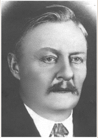
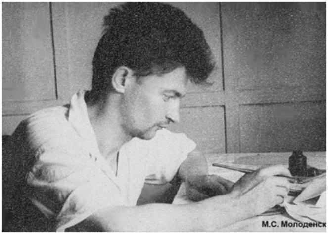
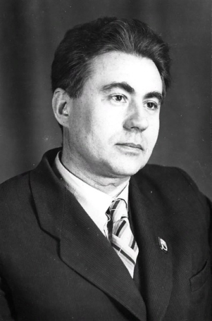
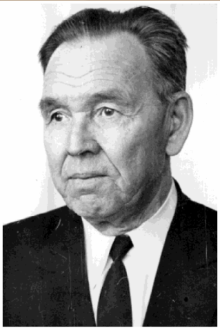
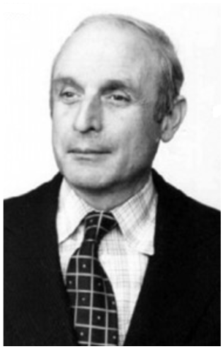
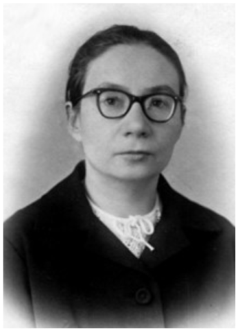
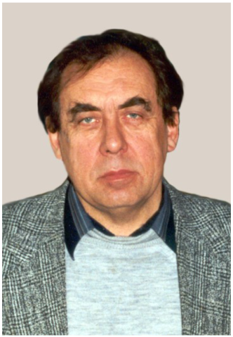
Today the institute is a part of the Federal Center for Geodesy, Cartography and Spatial Data Infrastructure. Congratulations to the researchers of TsNIIGAiK with the 90th anniversary of the foundation of the institute.
TATIANA AGILERA DELGADO, VLADIMIR KAFTAN
Meeting Announcements
First International School on “Geoid Modelling, Gravity Inversion and its Applications”
The school will be arranged at the University of Gävle, Gävle, Sweden, from 9 to 13 of September, 2019.
After the successful experiences in the determinations and evaluations of precise local geoid models in different countries as well as the very well met International Geoid Schools at:
- Yildiz Technical University, Istanbul, 2010
- Universiti Teknologi Malaysia (UTM), Johor Bahru, 2012
- Royal Institute of Technology (KTH), Stockholm, 2014
- Universiti Teknologi Malaysia (UTM), Johor Bahru, 2016
we plan to arrange another International School but now with a broader program on
- Geoid determination
- Gravity Inversion.
The school will be organized with theoretical lectures in the mornings followed by computer exercises in the afternoons, where the available software will be used. Since the School has a full-week intensive program, it can be counted as an external full graduate course.
The school is primarily offered only for university students and personnel from public organizations, and the software package is made available only for training of students and scientific works.
Please see more information via: https://www.hig.se/4.6c77c68166435adf0b3d060.html.
The school is led by
LARS E. SJÖBERG, Professor, Head of School
MOHAMMAD BAGHERBANDI, Professor, Local Organizer
Meetings Calendar
IAG Sponsored Meetings
4th Joint International Symposium on Deformation Monitoring (JISDM)May 15 – 17, 2019, Athens, Greece
URL: http://jisdm2019.survey.ntua.gr/
EUREF Symposium 2019
May 22 – 24, 2019, Tallinn, Estonia
URL: http://www.euref.eu/euref_symposia.html
27th IUGG General Assembly
July 8 – 17, 2019, Montreal, Canada
URL: http://www.iugg.org/assemblies/
IAG Related Meetings
AGU 2018 Fall Meeting
December 10-14, 2018, Washington, D.C., USA
URL: https://meetings.agu.org/
11th European Space Policy Conference
January 22 – 23, 2019, Brussels, Belgium
URL: http://www.spaceconference.eu
Munich Satellite Navigation Summit 2019
March 25-27, Munich, Germany
URL: https://www.munich-satellite-navigation-summit.org/
EGU General Assembly 2019
April 7-12 , 2019, Vienna, Austria
URL: http://www.egu2019.eu/
ESA Living Planet Symposium
May 13-17 , 2019, Milan, Italy
URL: https://lps19.esa.int
AOGS 16th Annual Meeting
July 28 – August 2, 2019, Singapore, Singapore
URL: http://www.asiaoceania.org/society/public.asp?view=up_coming
Earth & Geo Science-2019
August 12-13, 2019, Prague, Czech Republic
URL: https://scientificfederation.com/earth-science-2019/
First International School on “Geoid Modelling, Gravity Inversion and its Applications”
September 9-13, 2019, Gävle, Sweden
URL: https://www.hig.se/4.6c77c68166435adf0b3d060.html
4th Symposium of the Committee on Space Research (COSPAR)
November 4-8, 2019, Herzliya, Israel
URL: http://www.cospar2019.org/
Reports
Report on the Symposium SIRGAS2018
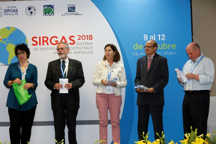
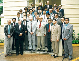
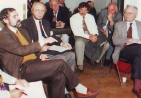
The current activities, advances, and new challenges of SIRGAS are reported, discussed, and re-oriented (if required) in the annual SIRGAS Meetings, which are held since 1993. This year, SIRGAS celebrated together with the geodetic community of Latin America the 25 years since that important meeting in Asunción, Paraguay, 1993 (Fig. 1). During a special session, an account was made of the main achievements of SIRGAS in these 25 years and a tribute was paid to the geodesists that have accompanied SIRGAS during the course of its history (Fig. 2).
The Symposium SIRGAS2018 took place in Aguascalientes, Mexico, from October 9 to 12, 2018. It was organized by the Instituto Nacional de Estadistica y Geografía (INEGI) of Mexico, with the support of the International Association of Geodesy (IAG) and the Pan-American Institute of Geography and History (PAIGH). In the frame of this symposium, two additional activities were programmed: A “Conversation SIRGAS in practice” on October 8 (5 presentations); and a workshop about “Vertical Datum” from October 15 to 17, 2018.
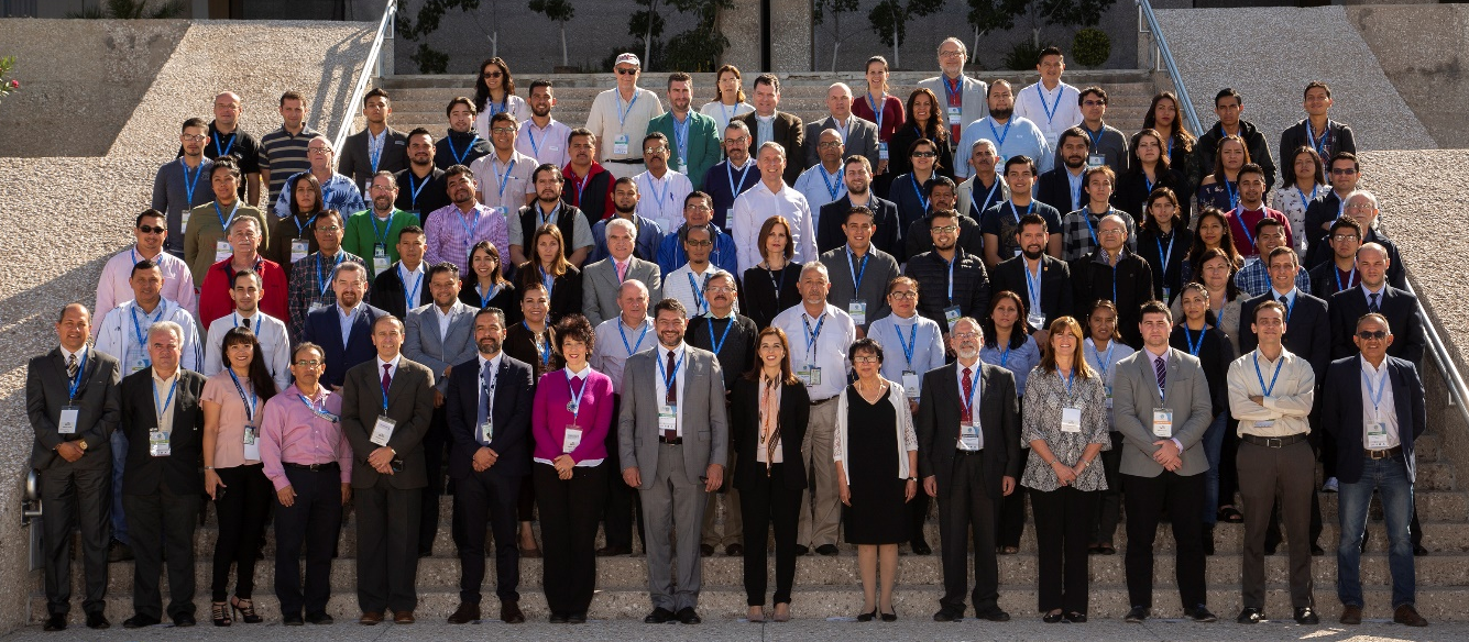
The symposium SIRGAS2018 was attended by 97 participants (Fig. 3) from 21 countries (Argentina, Bolivia, Brazil, Chile, Colombia, Costa Rica, Dominican Republic, Ecuador, El Salvador, England, Germany, Guatemala, Honduras, Mexico, Panama, Paraguay, Slovakia, Spain, United States, Uruguay, and Venezuela). The main topics included improvement and maintenance of the SIRGAS reference frame (11 presentations); practical applications aimed at the adoption of SIRGAS at the sub-regional and national level and SIRGAS infrastructure in real time (8 presentations); studies of the atmosphere and analysis of the Earth System based on SIRGAS infrastructure (7 presentations); advances in SIRGAS Unified Vertical Reference System (12 presentations); gravity and geoid (8 presentations); tribute to the 25 years of SIRGAS (6 presentations); and general reports (4 presentations). Five invited lectures were presented: Challenges to be faced by Geodesy in the coming years from the perspective of the International Association of Geodesy (IAG) (Hermann Drewes, IAG Secretary General, Germany); Strategy for the establishment of the International Height Reference System (IHRS) (Laura Sanchez, DGFI-TU Munich, Germany); The development of SIRGAS over 25 years and prospective challenges of science and humanity (Hermann Drewes, IAG Secretary General, Germany); Participation and geodetic development of Latin American countries during the 25 years of the SIRGAS project and SIRGAS in future time (Melvin Hoyer, Universidad del Zulia, Venezuela). In total, 43 oral contributions and 13 posters were presented.
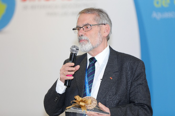
During the meeting of the SIRGAS Directing Council held on October 11, SIRGAS granted by resolution the distinction of Honorary President of SIRGAS to Prof. Dr. Hermann Drewes as public proof of admiration, respect and gratitude for being the founding father of SIRGAS and for his 25 years of uninterrupted support (Fig. 4).
VIRGINIA MACKERN
Report on the SIRGAS Working Group III “Vertical Datum” Workshop 2018
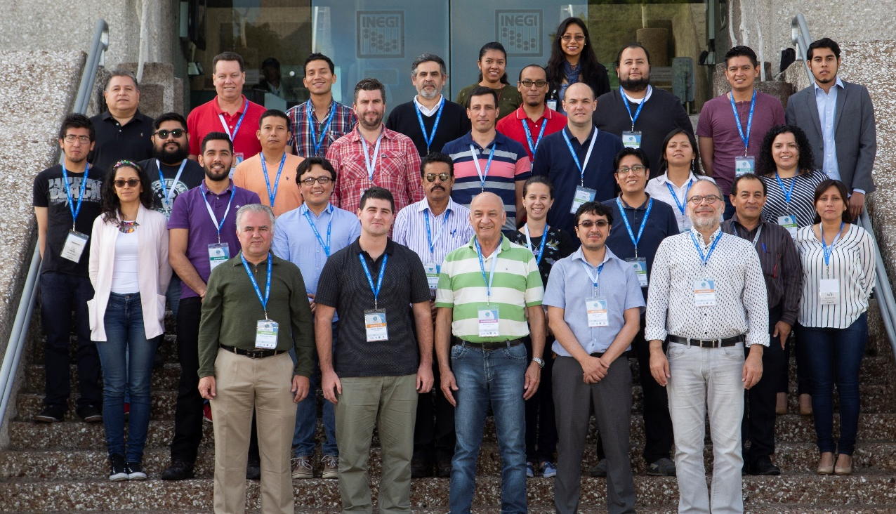
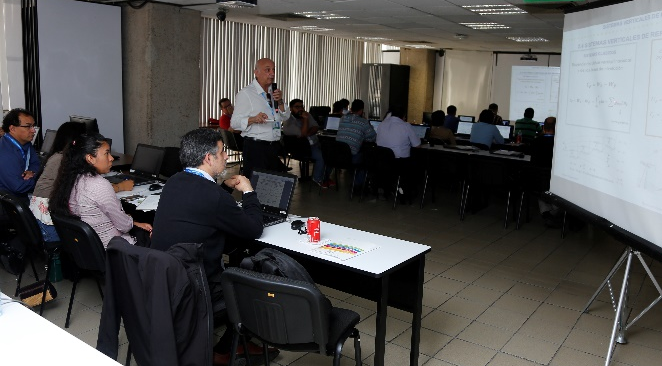
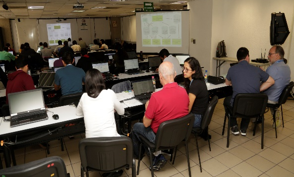
The SIRGAS Working Group III “Vertical Datum” Workshop 2018 was attended by 33 participants (Fig. 5) from 13 countries (Argentina, Brazil, Chile, Colombia, Costa Rica, Ecuador, El Salvador, Mexico, Paraguay, Dominican Republic , Uruguay, Venezuela and Slovakia). Issues related to the unification of the vertical datum for the SIRGAS member countries were developed again, such as the guidelines and actions for the materialization of the IHRS (International Height Reference System). Classes were taught with theoretical foundations (Fig.6) and practical tasks were performed with data provided by the countries attending the workshop (Fig 7). The Workshop was coordinated by Prof. Dr. Sílvio R.C. de Freitas (Brazil), Chair of the SIRGAS WG III. The basis of data processing was a software package developed by Prof. Dr. Hermann Drewes and Dr. Laura Sánchez. Preliminary analyses of the consistency of national nets were done by using a software package developed by Prof. Dr. Roberto Teixeira Luz (Brazil) who also acted as instructor in the Workshop. Hernan Guagni (Argentina) and Jose Luis Carrión (Ecuador) were instructors in the Workshop, too.
VIRGINIA MACKERN
International Workshop on GNSS Ionosphere (IWGI2018)
Observations, Advances and Opportunities
November 4-6, 2018, Shanghai, China
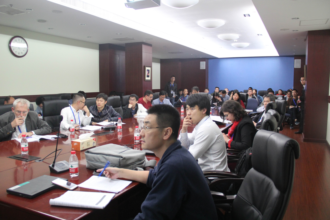
Ionospheric delay is one of main GNSS errors, which is still challenging to precisely correct and model in positioning, navigation and timing (PNT). Nowadays, dual-frequency GNSS observations can precisely estimate ionospheric delay, total electron content (TEC), electron density etc, which provide a unique opportunity to correct, monitor and understand ionospheric variations, particularly multi-GNSS, including US's GPS, Russia's GLONASS, China's BeiDou and EU's Galileo as well as regional systems, such as Japan's QZSS and India's IRNSS. The first International Workshop on GNSS Ionosphere (IWGI2018) - Observations, Advances and Opportunities was held in Shanghai, November 4-6, 2018, at the Shanghai Astronomical Observatory (SHAO), Chinese Academy of Sciences, which was jointly sponsored by the International Association of Geodesy (IAG), German Aerospace Center (DLR), Shanghai Astronomical Observatory, CAS (SHAO) and Nanjing University of Information Science & Technology (NUIST). The IWGI2018 covered topics, including Session 1: Multi-GNSS Current Status and Advances, Session 2: GNSS Tropospheric Delay Estimation and Effects, Session 3: GNSS Ionospheric Delay Estimation and Modelling, Session 4: GNSS Ionospheric Tomography and Radio Occultation, Session 5: Ionospheric Delay Effects on Navigation and Positioning, Session 6: Ionospheric/Thermospheric Irregularities from GNSS, Session 7: GNSS Space Weather and Environment Variations, Session 8: Seismic-Ionospheric Disturbances and Warning, and Session 9: Ionosphere and Space Environments from Multi-Sensors.
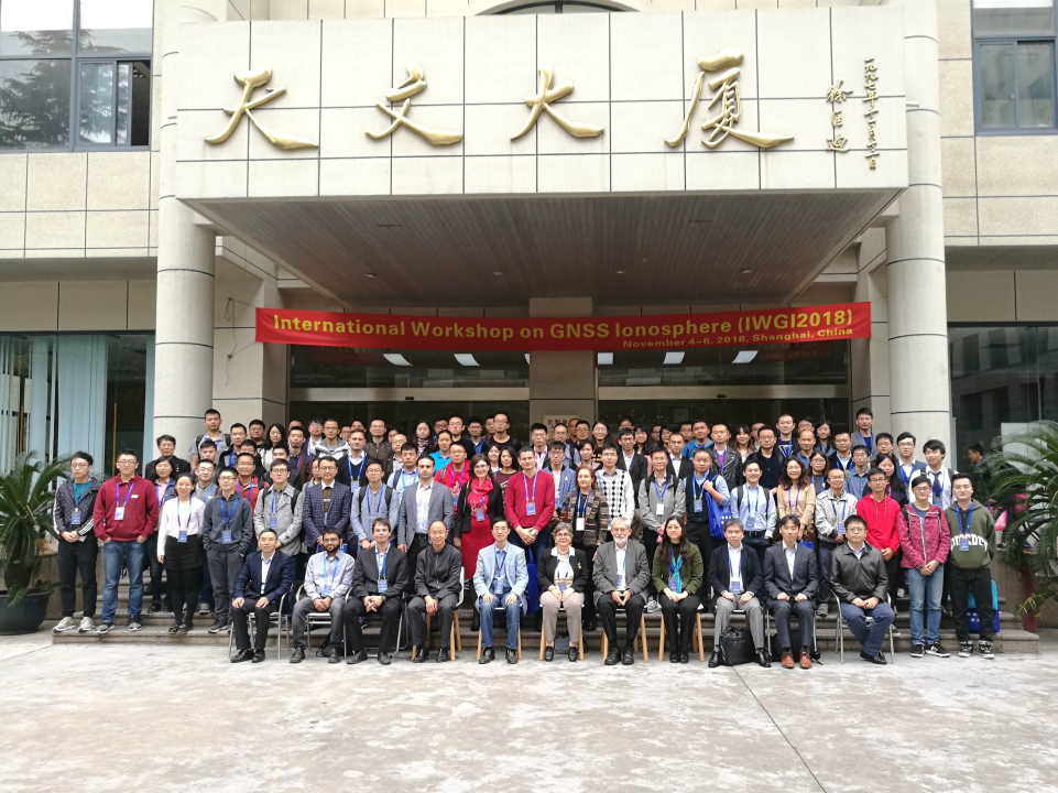
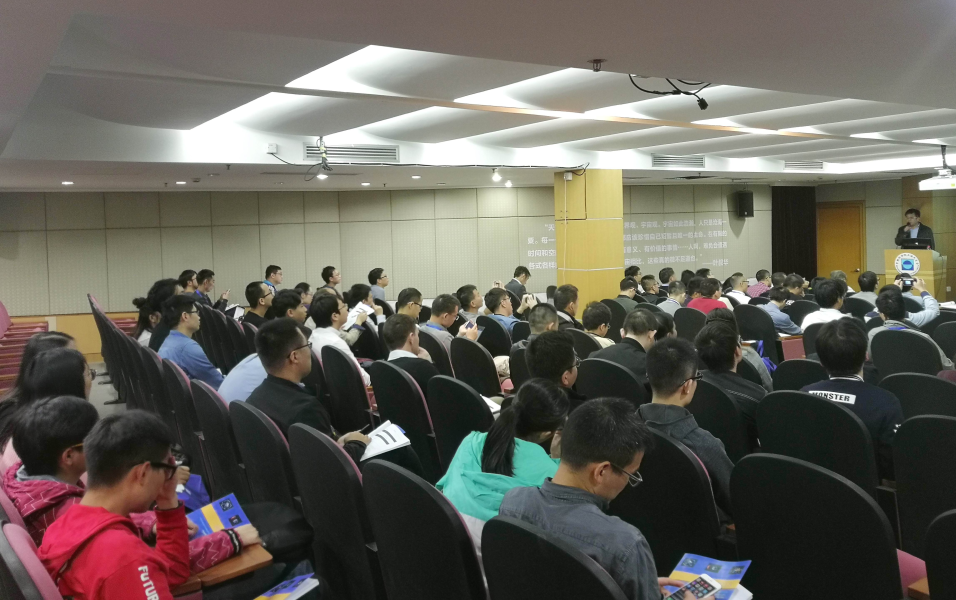
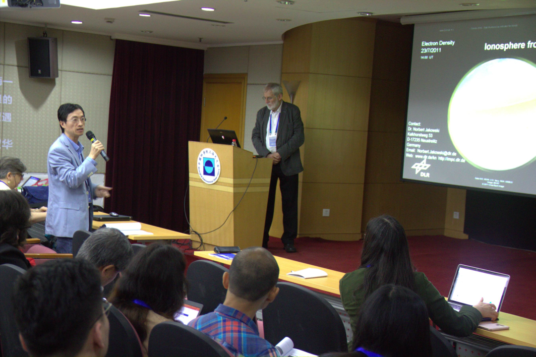
The IWGI2018 provided a platform for GNSS scientists and engineers to communicate and exchange in GNSS ionosphere, including ionospheric delay estimating theory, algorithms, modelling and applications in engineering and Earth/space science as well as and future challenges. About 130 participants from over ten countries attended IWGI2018 with over 70 oral talks. More information can be found at http://202.127.29.4/geodesy/iwgi2018.
PROF. DR. SHUANGGEN JIN (Chairman)
Shanghai Astronomical Observatory, CAS, Shanghai, China
Nanjing University of Information Science & Technology, Nanjing, China
Obituary
Michel Louis (1930-2018)
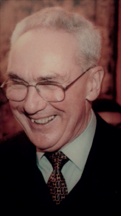
Born on September 31, 1930 in Eu (France), Michel Louis passed away on July 13, 2018. He graduated from Ecole Polytechnique (Paris, France) in 1954 and then from Ecole Nationale des Sciences Géographiques (ENSG) as French civil servant.
He started his career at the Institut Géographique National (IGN), now called Institut national de l'information géographique et forestière, in 1956 in the geodetic division under the direction of Jean-Jacques Levallois. He participated in several field campaigns for the determination of astronomic and geodetic networks. In 1960, he introduced the use of electromagnetic distance measurements for the establishment of geodetic networks. In 1962, under the leadership of Jean-Jacques Levallois, he developed the use of balistic cameras at IGN in the scope of geodetic field optical campaigns by satellite, linking the Azores islands to Europe and Africa. From 1966 to 1970, in cooperation with the US Army mapping service, he organized the African campaign of the 12th parallel. Michel Louis also acted for many years as a teacher at the Ecole Nationale des Sciences Géographiques and at the Ecole Supérieure des Géomètres et Topographes (ESGT). In 1976, he became chief of the IGN geodetic department, then director for IGN production and, finally, deputy director of the IGN from 1983 to September 1995 when he retired. During these last thirteen years, three successive IGN directors relied on his wide experience and expertise.
Michel Louis had a long involvement with the International Association of Geodesy. From 1963 to 1975, while Jean-Jacques Levallois was IAG Secretary General, he served as assistant secretary. He was then the editor of Bulletin Geodésique, which was later merged with manuscriptae geodetica, becoming Journal of Geodesy. In 1975, he was elected IAG Secretary General and fulfilled these duties with success for 16 years until 1991.
Those who had the chance to work with him or to work for him will remember his exceptional qualities for listening to others and understanding, his high level of expertise which went far beyond geodesy, as well as the importance that he gave to human relationships and to transmission of knowledge. When facing with conflicting opinions, he always looked for ways of finding good compromises, through discussion rather than with authoritative arguments. All these qualities clearly explain his international reputation, which allowed France to have a key role in the International Association of Geodesy for many years.
CLAUDE BOUCHER, PASCAL WILLIS
Jean Kovalevsky (1929-2018)
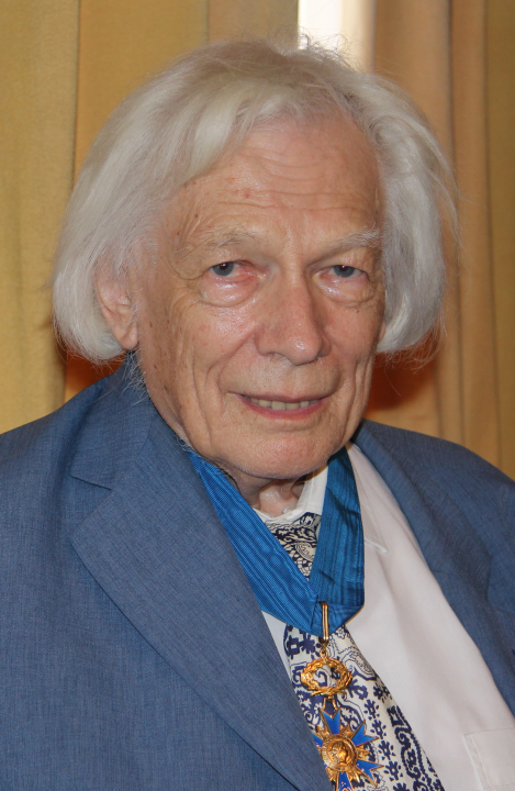
Jean Kovalevsky, prominent figure of astronomy, space geodesy and metrology at the international level, passed away on August 17, 2018 at Grasse (France) at the age of 89. He was a Member of the “Académie des sciences”, Honorary Member of the “Bureau des longitudes” and Emeritus Astronomer at the “Observatoire de la Côte d'Azur”. A former student of the “Ecole Normale Supérieure”, fellow in Mathematics (1954), he moved towards celestial mechanics thanks to André Danjon then director of the “Observatoire de Paris.” As an assistant astronomer, he was trained in astrometry and fundamental astronomy with Danjon's astrolabe (1955-1960). In parallel, as part of his doctorate thesis, under D. Brouwer at Yale University, he worked on the theory of the eighteenth satellite of Jupiter. Back in France, he was appointed as the Head of the new “Service des Calculs et de Mécanique Céleste” of the “Bureau des longitudes (BDL)”, a position he held for more than ten years (1960-1971). He renewed the methods of computations used in the astronomical ephemeris "Connaissance des temps” of the BDL. He and his students also developed new methods for constructing analytic theories of celestial body motion using new computational means.
From the beginning of the space age, opened in October 1957 by the launch of Sputnik I, J. Kovalevsky applied its new methods to the dynamics of the Earth artificial satellites and was one of the first to teach on this topic. A few years later, he published the famous monograph "Introduction to Celestial Mechanics" (Armand Colin editor). He organized a series of weekly seminars at the Bureau of longitudes around the dynamics of the solar system, as well as new themes in space geodesy, space mechanics and General Relativity.
J. Kovalevsky was naturally led to assume responsibilities in the French space program. He was the Principal Investigator of the first French geodetic satellite, the Diapason D1 A satellite, which was launched from Hammaguir (Algeria) (17 February 1966) to perform geodesy experiments founded on Doppler-Fizeau effect measurements of a radio transmitter onboard. He was then concerned about the development of a national space geodesy community, especially with the “Institut géographique national, (IGN)”. In this perspective, J. Kovalevsky and Jean-Jacques Levallois (IGN) played a major role for creating and organizing the Geodesy Space Research Group (GRGS) in France, which federates the French teams engaged in the field of space geodesy at that time from four institutes, the “Observatoire de Paris”, the “Institut geographique national (IGN)”, the “Centre national d’études spatiales (CNES)” and the “Bureau des longitudes (BDL)”. J. Kovalevsky was the first GRGS executive director (1971-1978), initiating and encouraging the development of projects that led to important results. The GRGS, which celebrated its 40th anniversary in 2011, is still very active.
In the late 60s, important discussions were centered around the construction of a new astrometric observatory combining some standard techniques with the contribution of new technologies of distance measurements, the satellite and lunar laser ranging, SLR and LLR. Finally a decision was made to install this new observatory near Grasse on the Calern plateau. J. Kovalevsky's agreement to come for animating and leading this new observatory was the decisive element for the decision-makers to create the CERGA “Centre d’études et de recherches geodynamiques et astronomiques” of which he was the director from 1974 to 1982.
At the same time, October 1974, J. Kovalevsky initiated and chaired a decisive meeting in Frascati (Italy) to bring together an international community around space astrometry and to transform what was then a French idea into a European space mission. After several years of technical assessments, ESA selected this mission called Hipparcos in its scientific program in 1980. J. Kovalevsky worked tirelessly in committees and largely contributed to this exceptional success. In 1982, he left his position as director of CERGA to devote full time to Hipparcos. He trained and then headed the European FAST consortium in charge of the data processing. Despite a not fully successful launch in the beginning, the Hipparcos mission was finally an outstanding success that opened a fundamentally new path for astrometry. This clearly made it possible to consider a much more ambitious mission and lead to the ESA Gaia space mission and its exceptional harvest still in progress. J. Kovalevsky was a member of the "Relativity and Reference Systems" working group.
Another area in which J. Kovalevsky played a leading role at the international level is that of the evolution of concepts related to the definition and realization of terrestrial and celestial reference systems. This has become necessary because of the diversification of techniques for astro-geodetic observations (VLBI, GNSS, SLR, LLR and DORIS) developed since 1980 and the dramatic improvement of their accuracy. His fruitful collaboration with the community of geodesists was concretized in particular by an article entitled "Comments on conventional land-based quasi-inertial reference systems" with I. Mueller (1981) and the co-edition, with the latter and B. Kolaczek of the book "Reference frames in astronomy and geophysics (Kluwer Academic Publishers, 1989)”. This work has had a considerable impact in the preparation of the resolutions adopted by the IAU (2000) and the IUGG (2003) on the definition of celestial (ICRS, BCRS and GCRS) and terrestrial reference systems (ITRS), essential for current research.
J. Kovalevsky has authored or co-authored numerous articles and books on celestial mechanics, astrometry, and reference systems, which are international references. After Hipparcos, he wrote with K. Seidelmann the book "Fundamentals of Astrometry" (Ed. Cambridge University Press, 2004)” More recently, J. Kovalevsky had a very significant role in the realization of the book ”Les Références de temps et d'espace - Un panorama encyclopédique: histoire, présent et perspectives”, Coord C. Boucher, P. Willis, Bureau des longitudes, Hermann, 2017“, in which he is author or co-author of five chapters.
From the 1990s, he put his vast scientific knowledge and his interest in measurement in general in the service of metrology. He has participated in the development of metrology at the national level as president of the “Bureau national de métrologie” (1995-2005) and he has supported the “Laboratoire national de métrologie et d’essais, LNE”. At the international level, he was a member, and then president (1997-2004), of the “International Committee of Weights and Measures” (CIPM). In this position, his international prestige and his negotiating skills were very useful to carry out discussions, often delicate, between participating States to the “Bureau international des poids et mesures”.
J. Kovalevsky’s outstanding contribution to science was recognized with numerous awards and honors, including the Ť médaille d’argent du CNES ť in 1966 and 1971ť, two prizes from the French Ť Académie des sciences ť in 1963 and 1984, the Belgian prize Ť Georges Lemaître ť in 2009. The Bureau des longitudes paid him an exceptional homage in October 2018 during its first meeting of the academic year 2018-2019. J. Kovalevsky was an impressive scientist, with great culture combining open-mindedness and considerable human qualities. He will be truly missed by his family and friends as well as by his many colleagues around the world.
CLAUDE BOUCHER (President of the Board of Longitudes), FRANÇOIS BARLIER, NICOLE CAPITAINE, FRANÇOIS MIGNARD (of the Board of Longitudes).
| DOCUMENTS |
| IAG_Newsletter_November_2018.pdf |